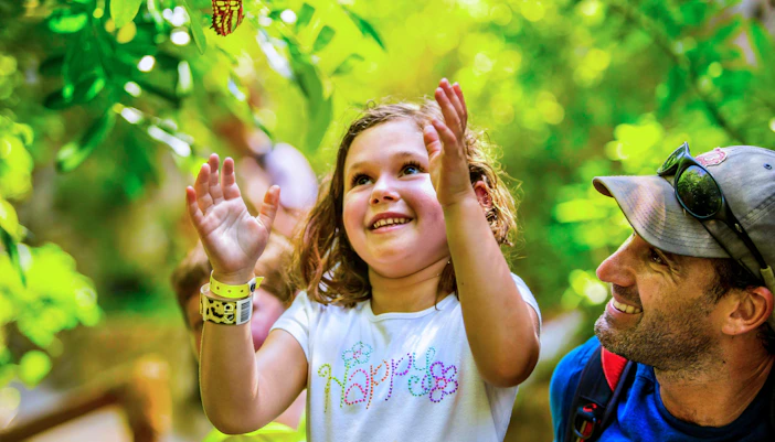
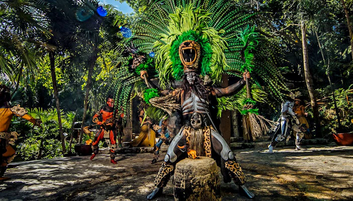
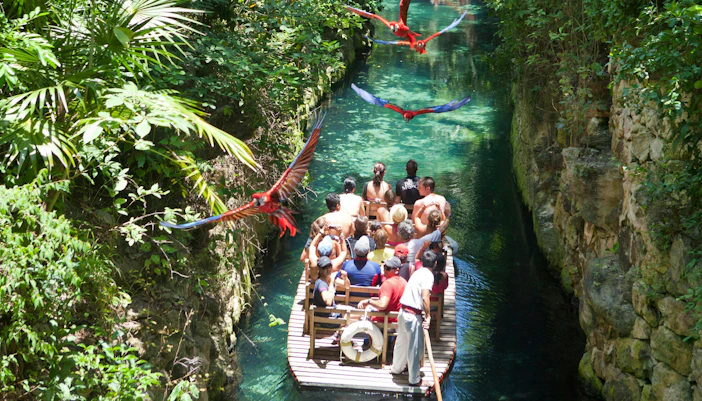
Start with the black route for the underground rivers, jungle paths, Children’s World, and manatee area. Continue along the blue route for the Coral Reef Aquarium, sea turtles, and archaeological remains.
Explore the Xcaret Park map before your visit
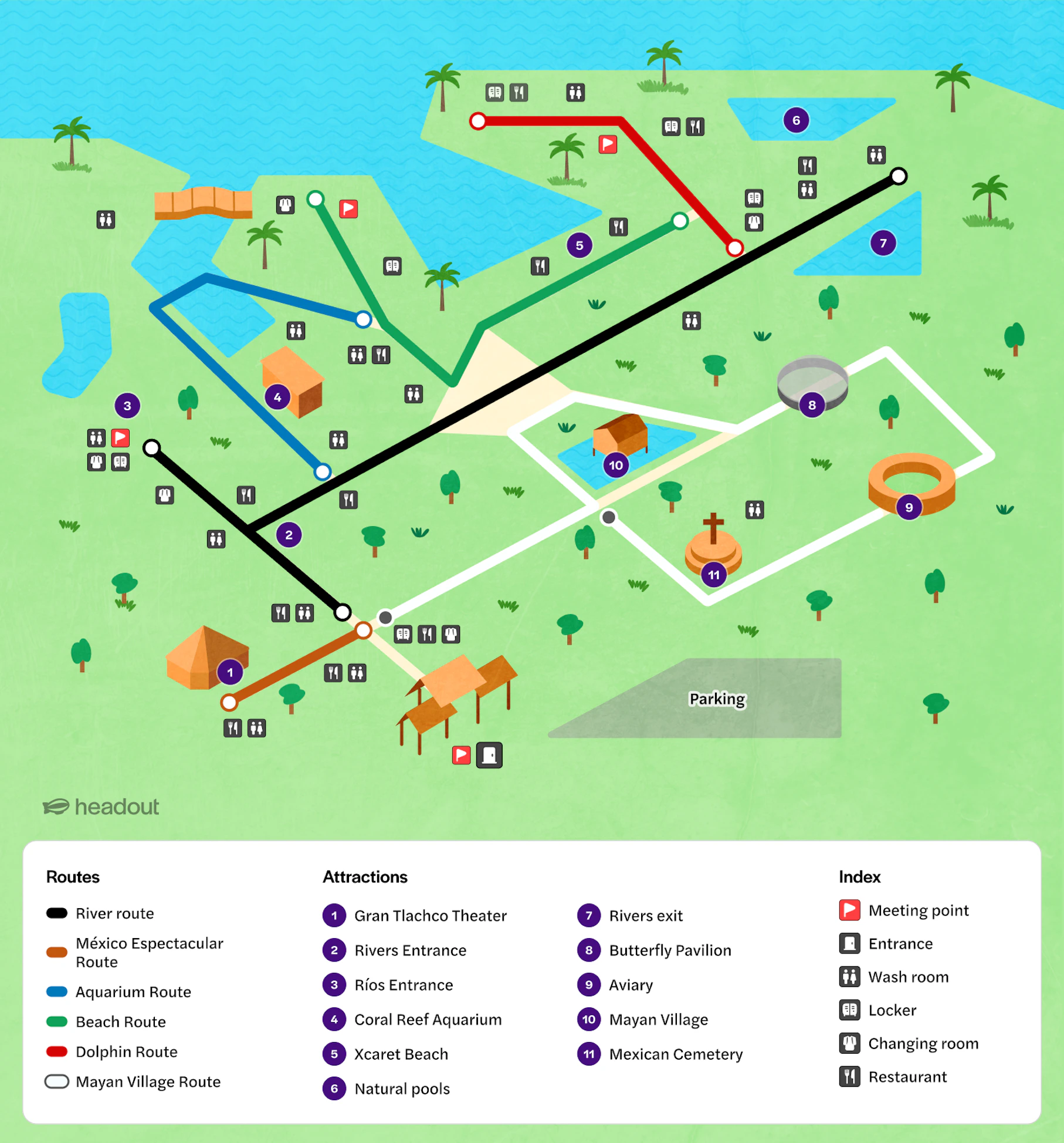
Xcaret Park is vast, with six color-coded routes linking underground rivers, wildlife habitats, beaches, cultural attractions, restaurants, and visitor facilities. Use the Xcaret Park map to plan your route before arriving, group nearby experiences, avoid unnecessary backtracking, and reach Gran Tlachco in time for Xcaret México Espectacular.
Xcaret Park map
Navigating your way around Xcaret Park
Xcaret Park uses six color-coded routes to group nearby attractions, dining spots, and facilities. Follow the routes instead of crossing the park repeatedly.
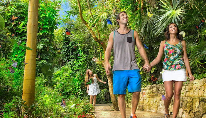
Black and blue routes
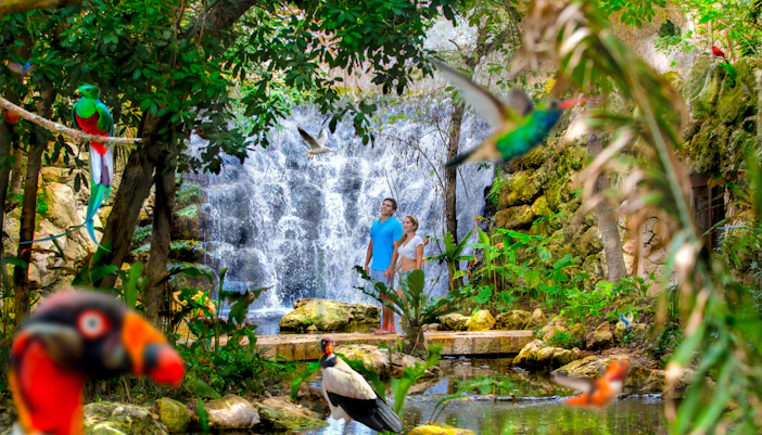
White and brown routes
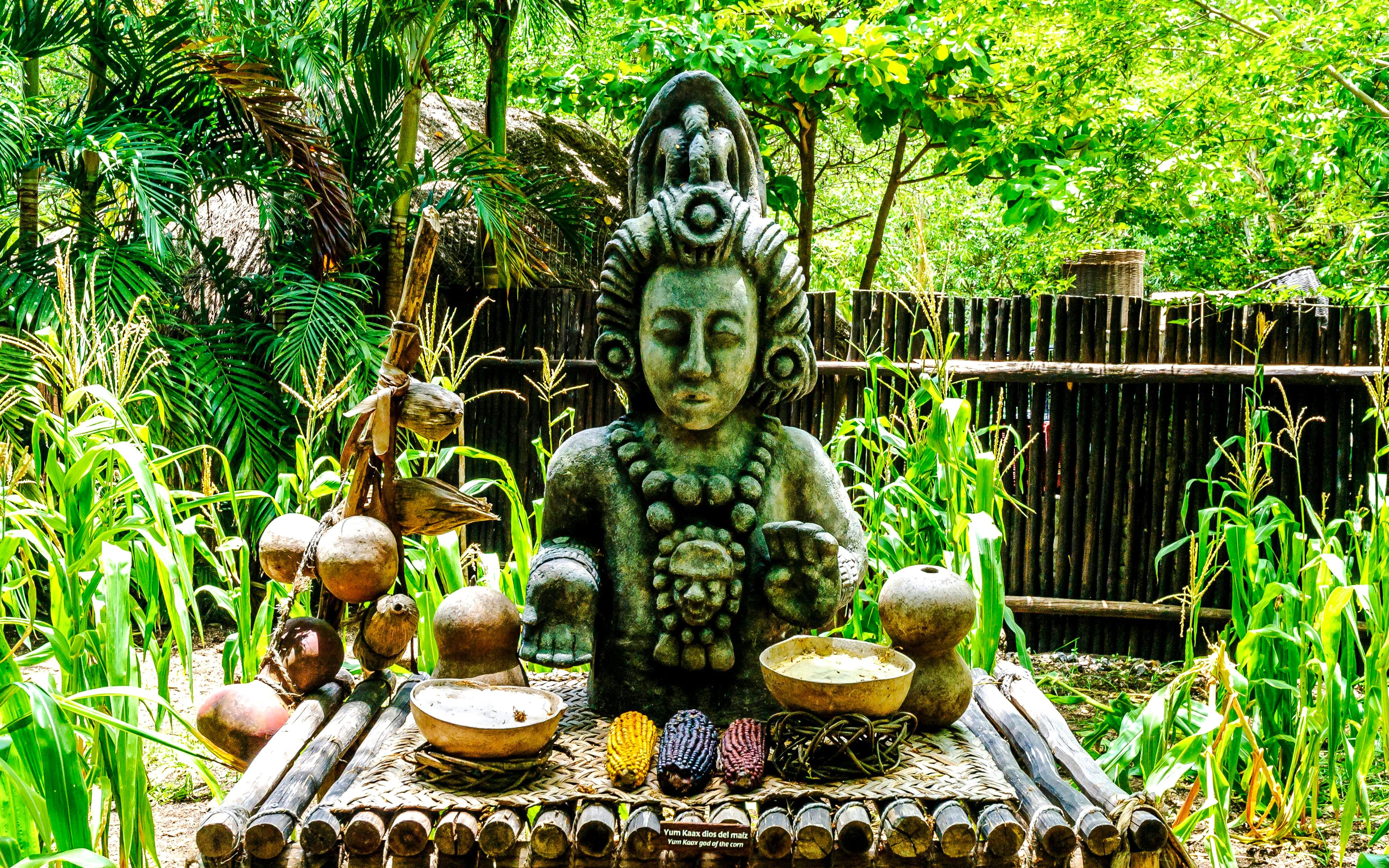
Use the white route for the Aviary, Butterfly Pavilion, Mayan Village, and Mexican Cemetery. The brown route leads toward Hacienda Henequenera, the Scenic Tower, and Gran Tlachco Theater.
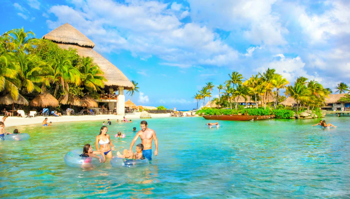
Green and red routes
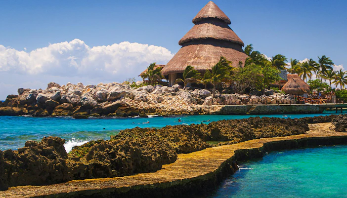
Follow the green route for Xcaret Beach, the inlet, and coastal dining. The red route connects natural pools, marine activities, restaurants, and Caribbean-facing viewpoints.
Visitor facilities at Xcaret Park
Xcaret Park has practical facilities spread across its color-coded routes. Check the map before you start so you know where to change, store belongings, eat, withdraw cash, and get assistance without repeatedly crossing the park.
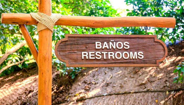
Lockers, showers and changing rooms
Prepare for water activities without carrying wet clothes or valuables throughout the day.
- Lockers are available for storing personal belongings
- Showers and changing rooms are located near water areas
- Toilets are available across the park
- Secure bags are provided for underground-river belongings
- Xcaret Plus includes access to dedicated Plus facilities
Some rentals and services may cost extra, so check what your selected ticket includes before visiting.
Restaurants, shops and visitor services
Use the map to choose dining and service stops near your planned route rather than walking back toward the entrance.
- Buffet restaurants serve Mexican, regional, and international dishes
- Snack outlets and cafés offer quicker meal options
- Souvenir shops sell gifts, clothing, and swimming essentials
- ATMs are available for cash withdrawals
- Wi-Fi is available in selected areas
- Visitor Services can help with routes, rentals, and general assistance
Standard admission excludes meals, while Xcaret Plus includes one buffet lunch at an eligible restaurant.

Parking, transfers and mobility support
The entrance area connects the park’s main arrival points and mobility services.
- Free onsite parking is available for visitors arriving by car
- Taxis use the designated entrance drop-off area
- Official transfers arrive at assigned transportation points
- Wheelchairs and strollers are available to rent
- Visitor Services can assist guests with mobility needs
- Accessible routes are available across many principal areas
The park’s natural terrain, wet surfaces, and long distances can make some routes more challenging, so plan shorter sections and breaks when needed.
Must-see highlights on the Xcaret Park map
Underground Rivers
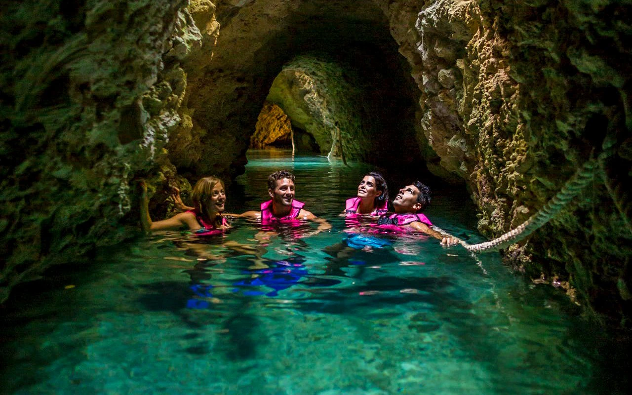
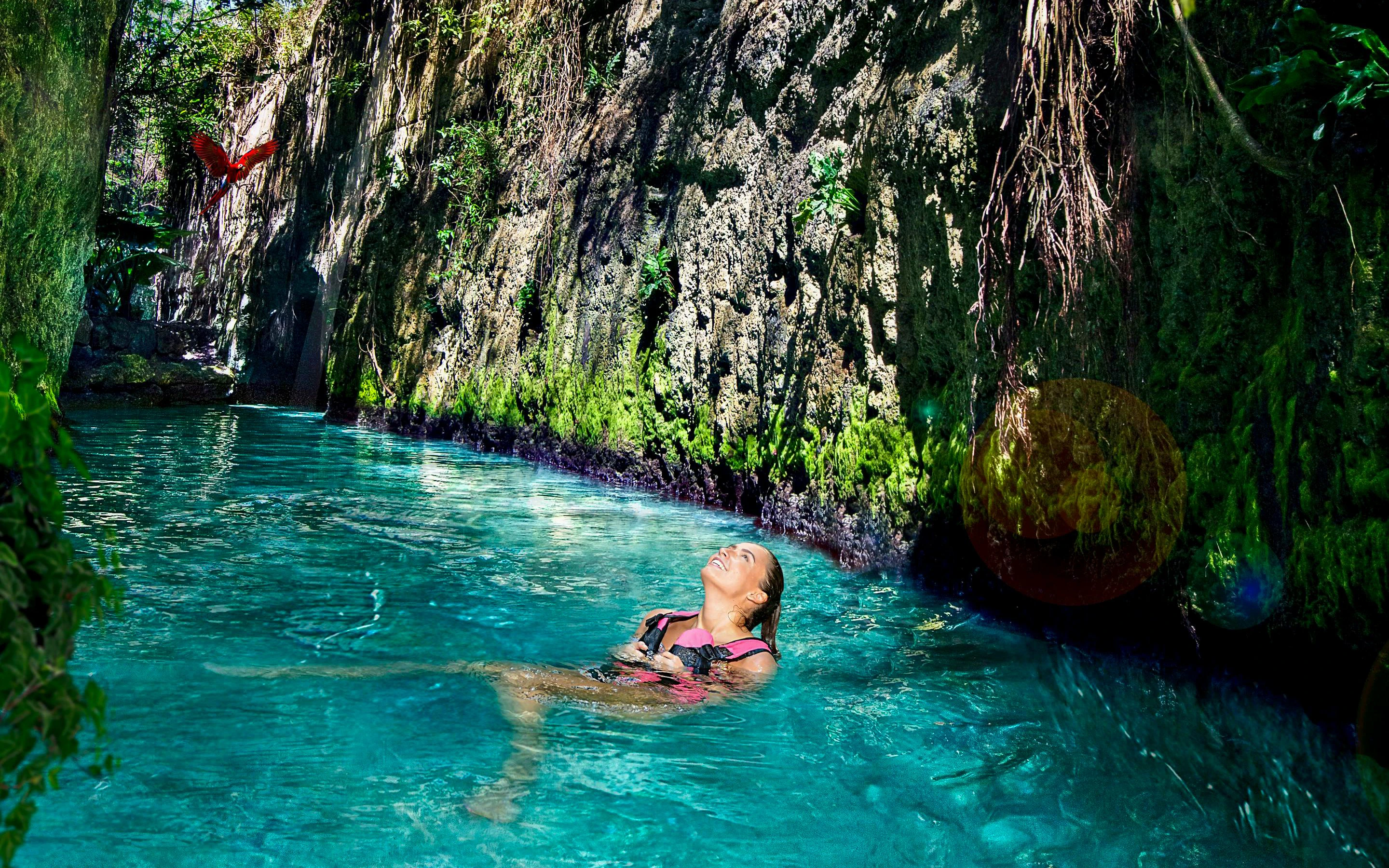
Find the Blue River, Pre-Hispanic River, and Manatee River along the black route. Each river follows a different course through caves, limestone tunnels, and open-air sections before reaching the Caribbean side of the park. Plan this experience early in the day so you have enough time to change and continue exploring.

Tips for your visit to Xcaret Park
Use the Xcaret Park map as a flexible guide rather than trying to follow every route in one day.
- Mark your priorities first: Choose a few must-sees, such as an underground river, the Aviary, Mayan Village, and Xcaret México Espectacular.
- Start with water activities: Complete an underground river earlier in the day, then use nearby changing rooms and lockers before continuing.
- Group nearby attractions: Visit the Aviary, Butterfly Pavilion, and Mayan Village together instead of crossing between routes repeatedly.
- Plan meals around your route: Pick a restaurant close to your afternoon stops so you do not have to walk back toward the entrance.
- Check show locations early: Note Gran Tlachco and other performance venues on the map as soon as you arrive.
- Allow extra walking time: The park is large, and moving between distant routes can take longer than expected.
- Use the app alongside the map: The printed map is useful for planning, while the Xcaret app can help you check your location inside the park.
- Keep paid activities separate: Some marine encounters and adventure experiences cost extra, so confirm what your ticket includes before adding them to your route.